Driveway paving in Boynton Beach, FL
The USDA soil survey rates Basinger, the most common, "Very limited" for local roads and streets, citing depth to saturated zone and ponding. None of the 24 land points sampled in Boynton Beach fall in a FEMA Special Flood Hazard Area; all are zone X. All County paves, repairs and sealcoats driveways in Boynton Beach from January to mid-March.
Florida line: (561) 220-8315The ground in Boynton Beach
The USDA soil survey maps Boynton Beach mostly as Basinger (35%), St. Lucie (19%) and Pomello (18%), from 25 points sampled across the town. It rates Basinger, the most common, "Very limited" for local roads and streets, citing depth to saturated zone and ponding.
| Soil | Share | Drainage | Local roads rating |
|---|---|---|---|
| Basinger Limits: depth to saturated zone, ponding | 35% | Poorly drained | Very limited |
| St. Lucie Limits: none listed | 19% | Excessively drained | Not limited |
| Pomello Limits: none listed | 18% | Moderately well drained | Not limited |
| Paola Limits: none listed | 18% | Excessively drained | Not limited |
The survey maps 18% of the sampled ground as urban land or fill, which it does not rate; the shares above leave it out.
Sources: USDA NRCS Soil Survey, Soil Data Access, "ENG - Local Roads and Streets" interpretation; U.S. Census Bureau, 2024 Gazetteer Files (places) for the town's land area (16.1 sq mi) and center point.
Flood zones in Boynton Beach
None of the 24 land points sampled in Boynton Beach fall in a FEMA Special Flood Hazard Area; all are zone X.
That matters for permits. Since July 1, 2026, section 553.79(1)(g) of the Florida Statutes exempts single-family owners from a building permit for work valued under $7,500, after a written exemption request, but not on property partly or entirely in a flood hazard area. The points above are a town-wide picture, not a reading for any one address.
Driveway permits in Boynton Beach
The City of Boynton Beach lists its permits on its "Planning & Zoning" page. City of Boynton Beach: Planning & Zoning.
For the apron where a driveway meets the road, Palm Beach County Engineering says right-of-way permits are issued by the owner of the roadway. Driveway connections to state roads go through the Florida Department of Transportation.
Winter weather near Boynton Beach
The nearest NOAA normals station is West Palm Beach International Airport, about 11 miles away. Its 1991 to 2020 averages for the months All County works here:
West Palm Beach airport. More on what the weather means for sealcoating on the Florida sealcoating page.
Driveways All County has paved
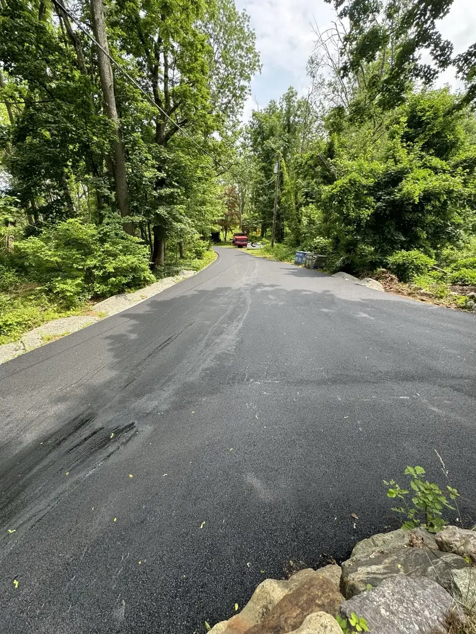
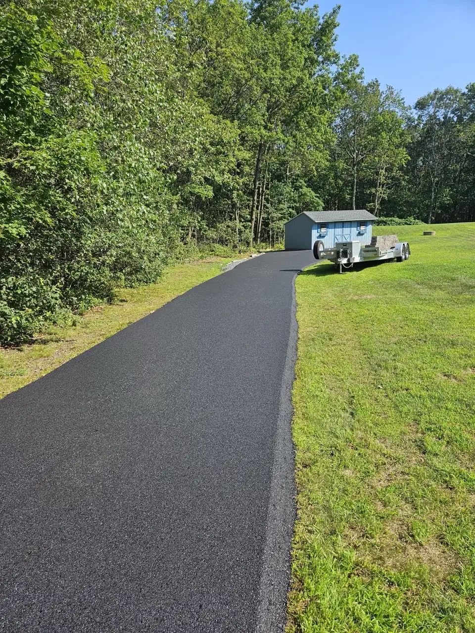
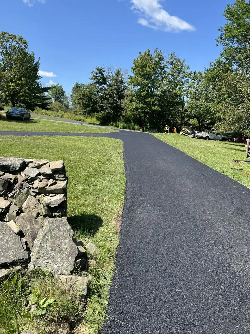
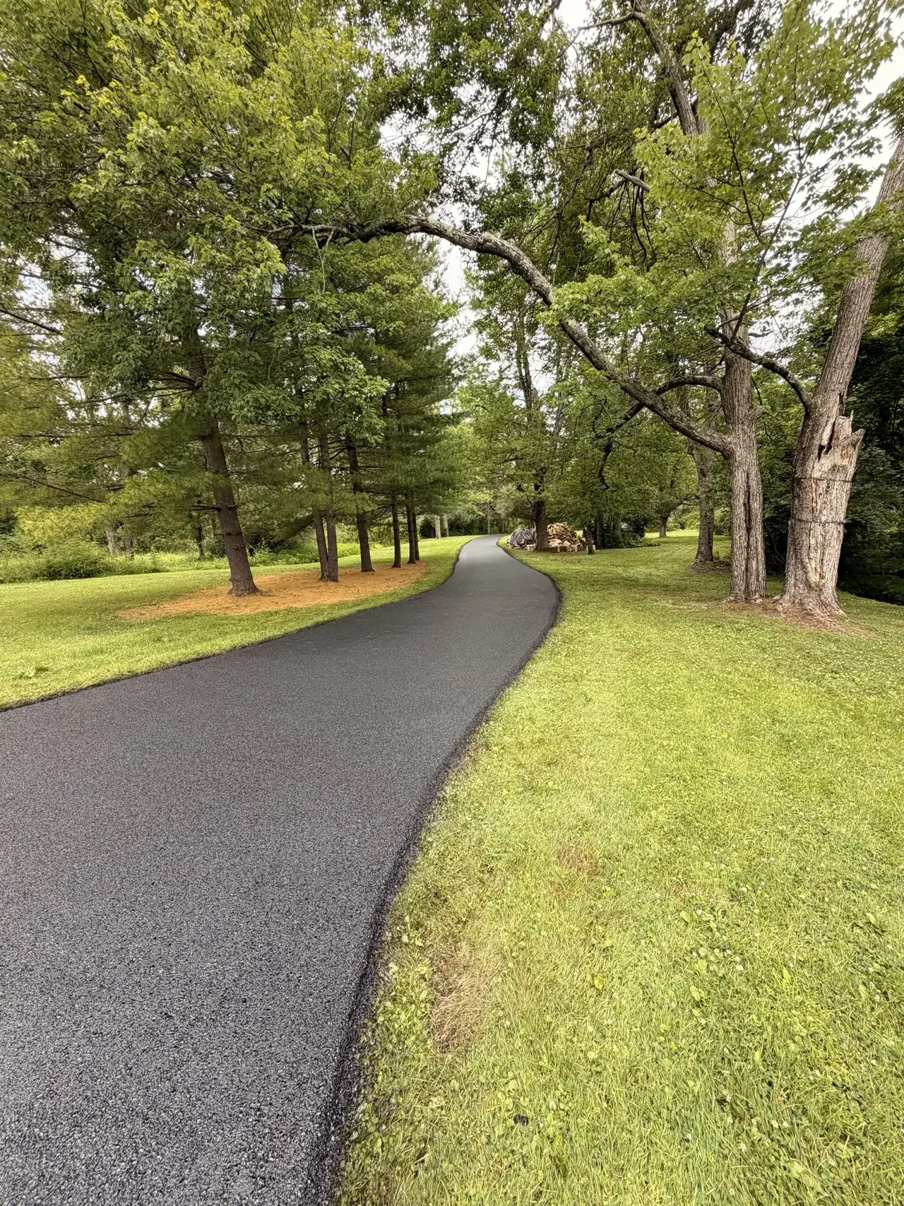
All County jobs in New Jersey.
Services in Boynton Beach
Nearby towns
Boynton Beach driveway FAQs
What soil is under driveways in Boynton Beach?
The USDA soil survey maps Boynton Beach mostly as Basinger (35%), St. Lucie (19%) and Pomello (18%), from 25 points sampled across the town. It rates Basinger, the most common, "Very limited" for local roads and streets, citing depth to saturated zone and ponding.
Is Boynton Beach in a FEMA flood zone?
None of the 24 land points sampled in Boynton Beach fall in a FEMA Special Flood Hazard Area; all are zone X. The sample points are a town-wide picture, so check the FEMA flood map for a specific address.
Do I need a permit for a new driveway in Boynton Beach?
The City of Boynton Beach lists its permits on its "Planning & Zoning" page. Since July 1, 2026, section 553.79(1)(g) of the Florida Statutes exempts single-family owners from a building permit for work valued under $7,500 after a written exemption request, but not on property partly or entirely in a flood hazard area.
Sources
- USDA Natural Resources Conservation Service, USDA NRCS Soil Survey, Soil Data Access
- FEMA, National Flood Hazard Layer, Flood Hazard Zones
- U.S. Census Bureau, U.S. Census Bureau, 2024 Gazetteer Files (places)
- NOAA National Centers for Environmental Information, U.S. Climate Normals 1991-2020, West Palm Beach International Airport (USW00012844)
- City of Boynton Beach, Planning & Zoning
- The Florida Legislature, CS/CS/HB 803 (2026), Chapter 2026-63, Laws of Florida, Building permits: adds section 553.79(1)(g), Florida Statutes, effective July 1, 2026
- Palm Beach County Engineering and Public Works, Permitting
- Florida Department of Transportation, Access Management